Intercommunality CREA Area 6.36 km² Local time Wednesday 1:47 AM | Region Normandy Time zone CET (UTC+1) Population 8,332 (2007) | |
 | ||
Weather 9°C, Wind SW at 14 km/h, 79% Humidity | ||
Saint-Pierre-lès-Elbeuf is a commune in the Seine-Maritime department in the Haute-Normandie region in northern France.
Contents
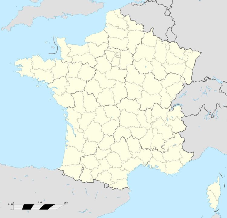
Map of Saint-Pierre-l%C3%A8s-Elbeuf, France
Geography
A small suburb town of farming and light industry situated by the banks of the Seine, some 14 miles (23 km) south of Rouen at the junction of the D921 with the D321 and the D913 with the D86 road. The old quarries have some interesting geological strata examples.
Main sights
Twin towns
References
Saint-Pierre-lès-Elbeuf Wikipedia(Text) CC BY-SA
