
Canton Grand-Couronne Area 10.21 km² Local time Wednesday 1:31 AM | Region Normandy Intercommunality CREA Population 774 (1999) | |
 | ||
Weather 9°C, Wind SW at 14 km/h, 79% Humidity | ||
Saint-Pierre-de-Manneville is a commune in the Seine-Maritime department in the Haute-Normandie region in northern France.
Contents
Map of 76113 Saint-Pierre-de-Manneville, France
Geography
A village of forestry, farming and associated light industry situated in a meander of the Seine, some 7 miles (11 km) southwest of Rouen on the D67 road.
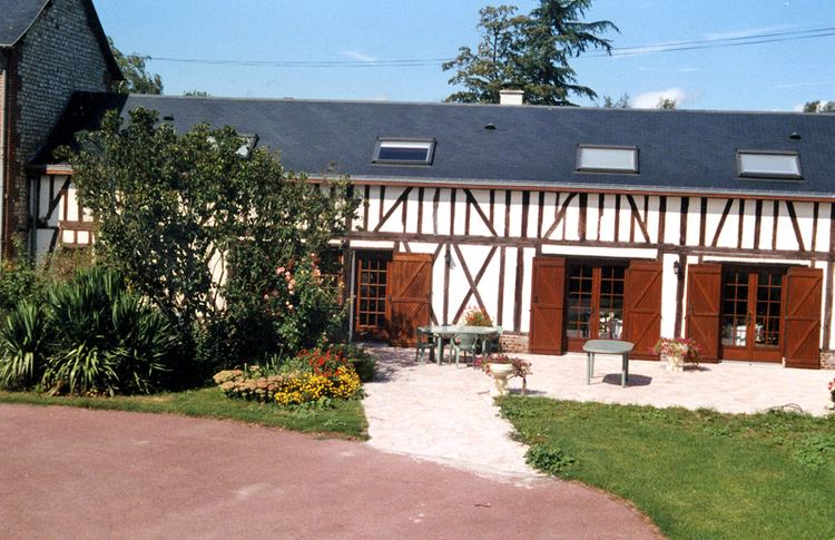
Places of interest
References
Saint-Pierre-de-Manneville Wikipedia(Text) CC BY-SA