
Intercommunality 2008–2014 Area 21.74 km² Local time Wednesday 1:29 AM | Canton Jumilhac-le-Grand Time zone CET (UTC+1) Population 373 (1999) | |
 | ||
Weather 9°C, Wind NE at 8 km/h, 76% Humidity | ||
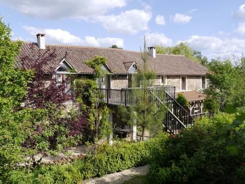
Saint-Pierre-de-Frugie is a commune in the Dordogne department in Nouvelle-Aquitaine in southwestern France.
Contents
Map of 24450 Saint-Pierre-de-Frugie, France
The village is dependent on tourism. The heart of the town contains a central office, staffed only part-time, a single restaurant ('L'Escargot'), and one hotel.
Geography
Saint-Pierre-de-Frugie is nestled among rolling hills. The characteristic farm-land is special and rich in history of this particular region. Many of the farms have been abandoned, and have no crop yield, but are maintained by the people as fields. These fields are still private property, and much of the area is off limits to tourists, but roads often run in between the farms, and one can see the expansiveness of the unused, but spectacular landscape.
References
Saint-Pierre-de-Frugie Wikipedia(Text) CC BY-SA