
Area 60 km² | ||
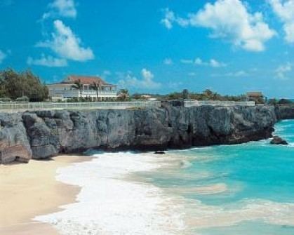 | ||
Points of interest Sunbury Plantation House, King George 5th Memorial, Skeetes Bay | ||
Saint Philip is a parish of Barbados at the easternmost end of the island.
Contents
Map of Saint Philip, Barbados
St. Philip has the largest land area of the 11 parishes of Barbados and has a relatively flat 'close to sea-level' terrain. St. Philip has the largest area of crop cultivation making it locally considered "the country". St. Philip does not have a 'true' city as some other parishes but rather 'areas' and 'villages'. Six Cross Roads is the largest area by virtue of both commercial and residential population and is the central hub for the parish.
Six Cross Roads, or locally known as just Six Roads, is a roundabout and its immediate neighborhood of which six roads converge extended in from the west 'from city' (Bridgetown); north-west toward Four Cross Roads and St. George; north-east toward Bushy Park; east toward Bayfield; south-east toward The Crane; south-west toward Oistins. Though there are a few areas in Barbados known as 'Four Cross Roads' there is only one area known as 'Six Cross Roads'. This parish is home to the only 'dependency' of Barbados called Culpepper Island. This tiny rock in the ocean is used as a feeding ground for sheep but cannot be reached unless by boat or by foot at low tide. The parish of Saint Philip is the main on-shore area of Barbados involved in the local oil industry.