
Established 1883 Population 866 (2011) | Time zone AST (UTC-4) Local time Tuesday 8:04 PM | |
 | ||
Weather 0°C, Wind E at 8 km/h, 79% Humidity | ||
Saint-Paul is a Canadian parish in Kent County, New Brunswick.
Contents
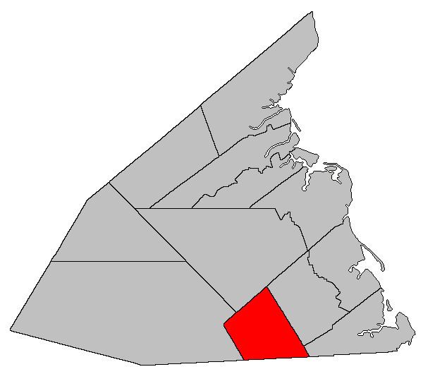
Map of Saint-Paul, NB, Canada
Its population in the 2011 Census was 866.
Delineation
Saint-Paul Parish is defined in the Territorial Division Act as being bounded:
North by the western prolongation of the northern line of Wellington Parish; east by the McLaughlin Road; west by the Canadian National Railways Line, and southwest by the County line.Governance
The entire parish forms the local service district of the parish of Saint-Paul, established in 1966 to assess for fire protection. Community services were added in 1987, recreational and sports facilities in 2008, and non-fire related rescue in 2015. First aid and ambulance services (1982–2008) were formerly included.
References
Saint-Paul Parish, New Brunswick Wikipedia(Text) CC BY-SA