Suvarna Garge (Editor)

Saint Paër

Updated on
Edit
Like
Comment
Share on FacebookTweet on TwitterShare on LinkedInShare on Reddit
Country
  
France

Department
  
Seine-Maritime

Canton
  
Duclair

Area
  
18.36 km²

Local time
  
Wednesday 1:14 AM

Region
  
Normandy

Arrondissement
  
Rouen

Intercommunality
  
Seine-Austreberthe

Population
  
1,326 (1999)

Saint-Paër

Weather
  
9°C, Wind SW at 10 km/h, 87% Humidity

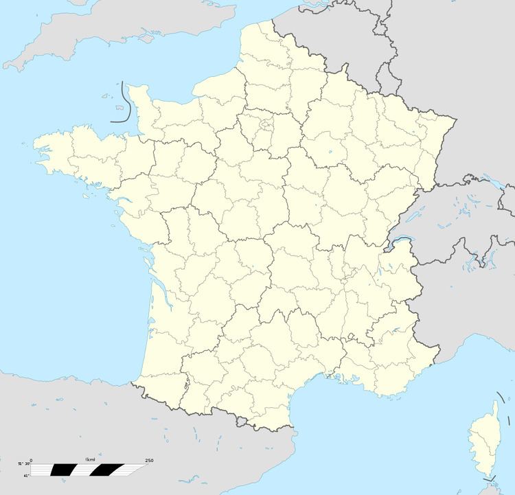
Saint-Paër is a commune in the Seine-Maritime department in the Haute-Normandie region in northern France.

Contents

Map of 76480 Saint-Pa%C3%ABr, France

Geography

A farming village situated by the banks of the Austreberthe River in the Pays de Caux, some 12 miles (19 km) northwest of Rouen at the junction of the D5, D63 and the D86 roads.

Places of interest

  • The church of St. Paër, dating from the eleventh century.
  • The chapel of the Trinity at Mesnil-Varin, dating from the seventeenth century.
  • The seventeenth-century chateau of Aulnay.
  • The chateau des Vieux.
  • The chapel of the château of Bois-Guéroult.
  • People

  • Henri Gadeau de Kerville, zoologist, set up his laboratory here in 1910.
  • References

    Saint-Paër Wikipedia