
Area 21.12 km² Local time Wednesday 12:51 AM | Canton Antrain Time zone CET (UTC+1) Population 751 (1999) | |
 | ||
Weather 9°C, Wind S at 13 km/h, 90% Humidity Arrondissement Arrondissement of Fougères-Vitré | ||
Saint-Ouen-la-Rouërie (Breton: Sant-Owen-Reoger) is a commune in the Ille-et-Vilaine department in Brittany in northwestern France.
Contents
Map of 35460 Saint-Ouen-la-Rou%C3%ABrie, France
Location
The commune lies 47 km (29 mi) northeast of Rennes and 21 km (13 mi) south of Mont Saint-Michel on the border with Normandy.
Saint-Ouen's adjoining communes are Sacey and Montanel in Manche, and Coglès, Tremblay, and Antrain, in Ille-et-Vilaine.
Population
Inhabitants of Saint-Ouen-la-Rouërie are called audoniens in French.
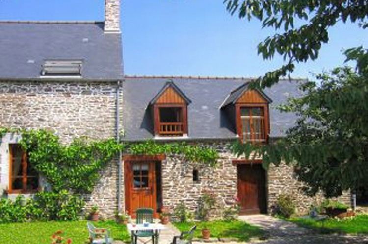
Sights
References
Saint-Ouen-la-Rouërie Wikipedia(Text) CC BY-SA