
Time zone CET (UTC+1) Area 25.62 km² Population 295 (1999) | INSEE/Postal code 18225 /18270 Local time Tuesday 11:59 PM | |
 | ||
Weather 7°C, Wind S at 3 km/h, 84% Humidity | ||
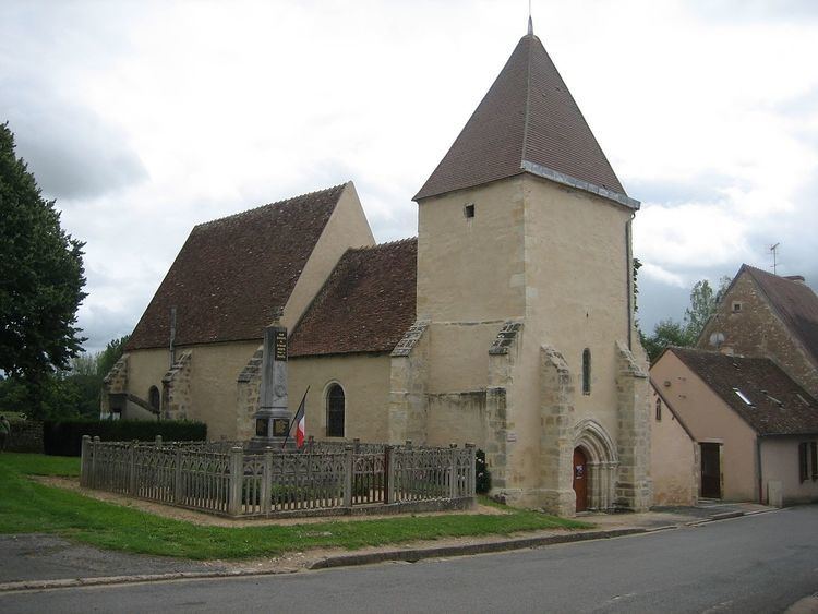
Saint-Maur is a commune in the Cher department in the Centre region of France.
Contents
Map of 18270 Saint-Maur, France
Geography
A farming area comprising the village and four hamlets situated by the banks of the small river Portefeuille, about 38 miles (61 km) south of Bourges at the junction of the D62 with the D65 and the D127 roads.
Sights
References
Saint-Maur, Cher Wikipedia(Text) CC BY-SA