
Population (2006) 1,874 Area 11.92 km² | Region Normandy Time zone CET (UTC+1) Local time Tuesday 11:03 PM | |
 | ||
Weather 11°C, Wind S at 14 km/h, 80% Humidity | ||
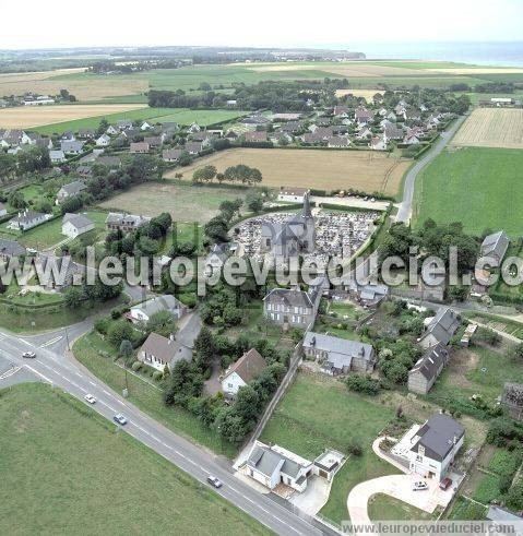
Saint-Léonard is a commune in the Seine-Maritime department in the Haute-Normandie region in northern France.
Contents
Map of 76400 Saint-L%C3%A9onard, France
Geography
An area of farming and light industry, in the Pays de Caux, situated some 22 miles (35 km) northeast of Le Havre, at the junction of the D940 and D79 roads. The commune is just south of Fécamp and comprises the village itself and several hamlets. The coast faces the English Channel and has some spectacular cliffs
Places of interest
References
Saint-Léonard, Seine-Maritime Wikipedia(Text) CC BY-SA