Canton Acheux-en-Amiénois Area 4.29 km² | Local time Tuesday 10:58 PM | |
 | ||
Weather 11°C, Wind S at 6 km/h, 87% Humidity | ||
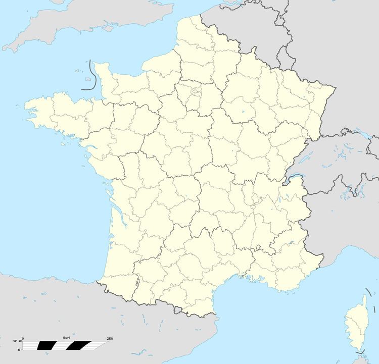
Saint-Léger-lès-Authie is a commune in the Somme department in Hauts-de-France in northern France.
Contents
Map of 80560 Saint-L%C3%A9ger-l%C3%A8s-Authie, France
Geography
The commune is situated some 17 miles (27 km) northeast of Amiens, on the D152 road and on the banks of the Authie River, the border with the Pas-de-Calais.
References
Saint-Léger-lès-Authie Wikipedia(Text) CC BY-SA
