
Area 2.81 km² Local time Tuesday 10:57 PM | Region Normandy Intercommunality CREA Population 3,124 (1999) | |
 | ||
Weather 11°C, Wind S at 10 km/h, 81% Humidity | ||
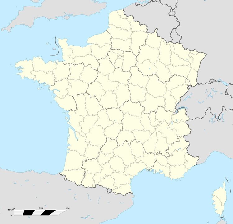
Saint-Léger-du-Bourg-Denis is a commune in the Seine-Maritime department in the Haute-Normandie region in northern France.
Contents
Map of Saint-L%C3%A9ger-du-Bourg-Denis, France
Geography
A light industrial suburban town surrounded by woodland and situated in the Roumois, just 3 miles (4.8 km) east of the centre of Rouen at the junction of the D42 and the D138 roads.
Etymology
The name of the town has the current spelling by false etymology. It ought to be "Saint-Léger-Bourdeny", as it was formerly called "Bourdeny", a Gallo-Roman toponym in -acum, formed with the Germanic personal name Burdinus, thus Burdiniacum > Bourdeny. It is high time to correct the uselessly complex current spelling, which dates from the French Revolution. Burdinus, a given name, gave rise to the patronymic surnames Bourdain and Bourdin, common in west central France.
A similar name can be found in the Merovingian toponym Bourdainville.