
Time zone CET (UTC+1) Area 16.94 km² Population 237 (1999) | INSEE/Postal code 24429 /24160 Local time Tuesday 9:55 PM Arrondissement Périgueux | |
 | ||
Weather 13°C, Wind NE at 5 km/h, 66% Humidity | ||
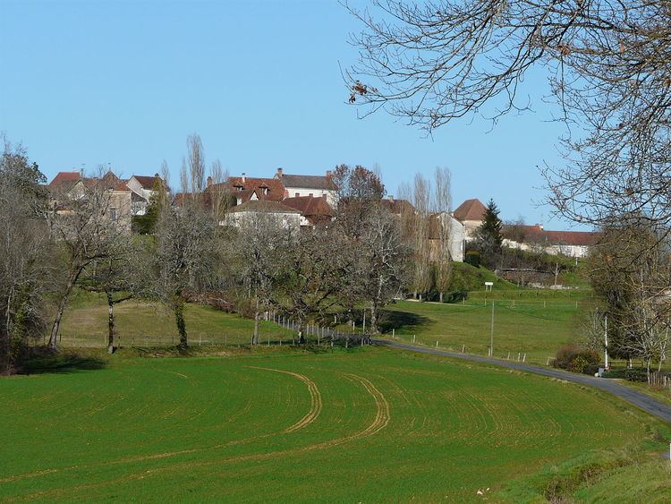
Saint-Jory-las-Bloux is a commune in the Dordogne department in Nouvelle-Aquitaine in southwestern France.
Contents
Map of 24160 Saint-Jory-las-Bloux, France
Geography
The commune is situated on a promontory above the river Isle, on the border of Périgord Blanc and the Périgord Vert. It is a green area, with springs and limestone rocks.
Sights
References
Saint-Jory-las-Bloux Wikipedia(Text) CC BY-SA