
Canton Lillebonne Area 13.73 km² Population 742 (1999) | Region Normandy Local time Tuesday 9:35 PM | |
 | ||
Weather 12°C, Wind SW at 10 km/h, 80% Humidity | ||
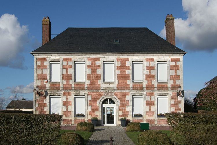
Saint-Jean-de-Folleville is a commune in the Seine-Maritime department in the Haute-Normandie region in northern France.
Contents
Map of 76170 Saint-Jean-de-Folleville, France
Geography
A farming village in the Pays de Caux, situated some 19 miles (31 km) east of Le Havre, at the junction of the D81 and D982 roads. The river Seine marks the southern border of the commune.
Places of interest
References
Saint-Jean-de-Folleville Wikipedia(Text) CC BY-SA