
Time zone CET (UTC+1) Population 539 (1999) | Canton Marquise Area 6.6 km² Local time Tuesday 9:15 PM | |
 | ||
Intercommunality Communauté de communes de la Terre des Deux Caps Weather 11°C, Wind SW at 18 km/h, 85% Humidity | ||
Saint-Inglevert is a commune in the Pas-de-Calais department in the Hauts-de-France region of France.
Contents
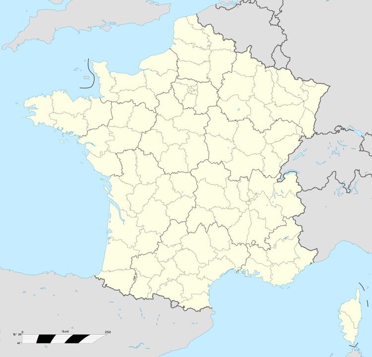
Map of Saint-Inglevert, France
Geography
Saint-inglevert is situated some 12 miles (19 km) north of Boulogne, at the junction of the D244 road with the A16 autoroute.
Places of interest
References
Saint-Inglevert Wikipedia(Text) CC BY-SA