
Length 64 mi (103 km) | ||
 | ||
Trailheads | ||
Saint Illtyd’s Walk is a 103km / 64 mile long waymarked long distance footpath in South Wales running from Pembrey Country Park (OS grid ref SN 403000) west of Burry Port through rural eastern Carmarthenshire and Neath Port Talbot to end at Margam Country Park (OS grid ref SS 806862) south of Port Talbot. Saint Illtyd (or Illtud) was a late fifth / early sixth century Welsh saint.
The route
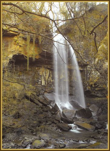
The route skirts the fringes of Burry Port, heading east to the Lliedi reservoirs then to Pontarddulais. It then turns northeast heading up via Graig Fawr onto Mynydd y Gwair then heads southeast via Bryn Mawr and Mynydd Carnllechart to the Swansea Canal north of Pontardawe following the towpath past Ynysmeudwy and Cilmaengwyn. The route then climbs east over the northern end of the Mynydd Marchywel ridge and down to cross the River Dulais at Crynant. From there it climbs steeply up through forestry to Sarn Helen which here runs along Hirfynydd and then steeply down to Resolven in the Vale of Neath. Passing Melincourt Falls it climbs again to Cefnmawr and then turns south bound for Cwm Afan. From there it runs through Afan Argoed Forest Park to the village of Bryn thence through more forestry via Mynydd Bach before dropping down to Mynydd y Castell and Margam Country Park.