
Country Canada Constituted February 11, 1897 Postal code(s) J0K 2P0 Area 72.5 km² Population 2,086 (2011) Named for Ignatius of Loyola | Settled 1669 Time zone EST (UTC−5) Area code(s) 450 and 579 Local time Tuesday 3:14 PM Province Québec | |
 | ||
Weather 3°C, Wind NE at 10 km/h, 92% Humidity RCMs Lanaudière, D'Autray Regional County Municipality | ||
Saint-Ignace-de-Loyola is a municipality in the Lanaudière region of Quebec, Canada, part of the D'Autray Regional County Municipality. Its territory is located on 33 of the Sorel Islands in the Saint Lawrence River where it flows into Lac Saint-Pierre, the largest of which are île Madame, île aux Ours, and La Grande Île.
Contents
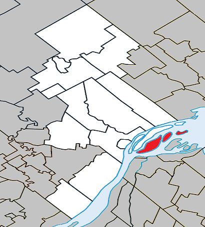
Map of Saint-Ignace-de-Loyola, QC, Canada
History
In 1895, the Parish of Saint-Ignace-de-Loyola was formed, and named in honour of the founder of the Jesuits, Ignatius López de Loyola (1491-1556). In 1896, its post office opened and a year later, the parish municipality was established by separating from La Visitation-de-l'Île-Dupas.
On October 31, 2012, it changed status from a parish municipality to municipality.
Demographics
Population trend:
Private dwellings occupied by usual residents: 885 (total dwellings: 945)
Mother tongue: