
Area 53.78 km² Local time Tuesday 8:56 PM | Time zone CET (UTC+1) Population 523 (1999) | |
 | ||
Weather 14°C, Wind W at 5 km/h, 60% Humidity | ||
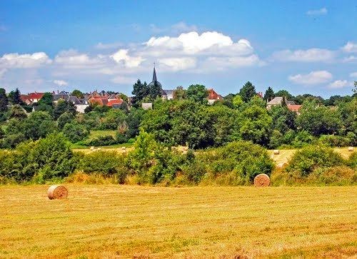
Saint-Hilaire-en-Lignières is a commune in the Cher department in the Centre region of France.
Contents
Map of 18160 Saint-Hilaire-en-Ligni%C3%A8res, France
Geography
A very large farming area comprising the village and several hamlets situated on the banks of the river Arnon, some 25 miles (40 km) southwest of Bourges at the junction of the D940 with the D65 and also on the D26 road. The commune shares its southwestern borders with the department of Indre.
Sights
References
Saint-Hilaire-en-Lignières Wikipedia(Text) CC BY-SA