
Intercommunality Coglai Area 18.27 km² | Canton Saint-Brice-en-Coglès Population (2009) 988 Local time Tuesday 8:55 PM | |
 | ||
Weather 12°C, Wind SW at 16 km/h, 69% Humidity Arrondissement Arrondissement of Fougères-Vitré | ||
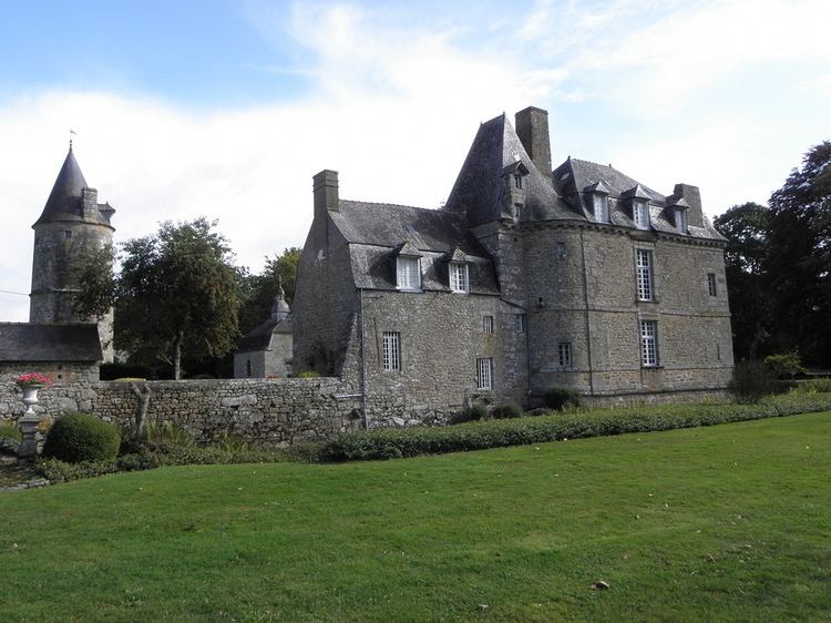
Saint-Hilaire-des-Landes (Breton: Sant-Eler-al-Lann) is a commune in the Ille-et-Vilaine department in Brittany in northwestern France.
Contents
Map of 35140 Saint-Hilaire-des-Landes, France
Geography
Saint-Hilaire-des-Landes is located 41 km (25 mi) northeast of Rennes and 37 km (23 mi) south of Mont Saint-Michel.
The adjacent communes are Le Tiercent, Baillé, Saint-Étienne-en-Coglès, Saint-Sauveur-des-Landes, Saint-Marc-sur-Couesnon, and Saint-Ouen-des-Alleux.
References
Saint-Hilaire-des-Landes Wikipedia(Text) CC BY-SA