
Canton Nérondes Area 18.42 km² Population 190 (1999) | Time zone CET (UTC+1) Local time Tuesday 8:54 PM | |
 | ||
Weather 14°C, Wind W at 5 km/h, 65% Humidity | ||
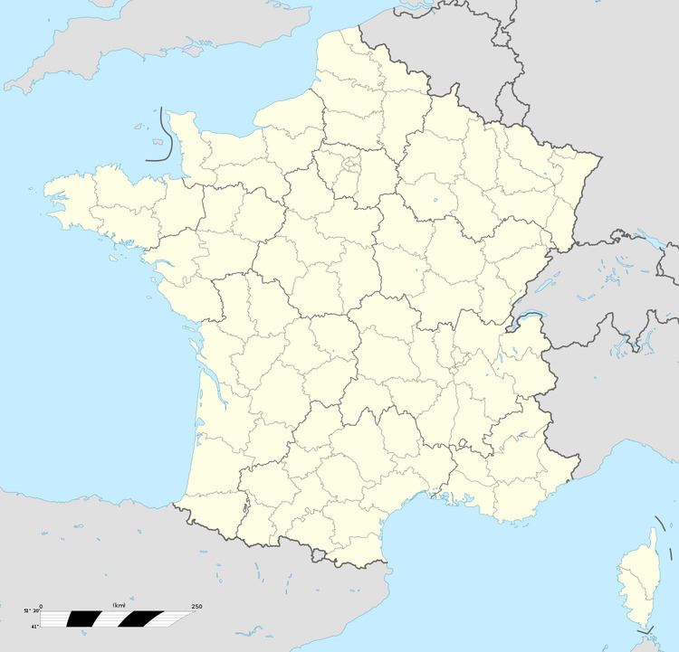
Saint-Hilaire-de-Gondilly is a commune in the Cher department in the Centre region of France.
Contents
Map of 18320 Saint-Hilaire-de-Gondilly, France
Geography
A farming area comprising the village and two hamlets situated some 20 miles (32 km) east of Bourges at the junction of the D48 with the D12 and the D26 roads.
Sights
References
Saint-Hilaire-de-Gondilly Wikipedia(Text) CC BY-SA