
Canton Norrent-Fontes Area 7.24 km² Local time Tuesday 8:51 PM | Intercommunality Artois Flandres Population 734 (1999) | |
 | ||
Weather 12°C, Wind SW at 14 km/h, 81% Humidity | ||
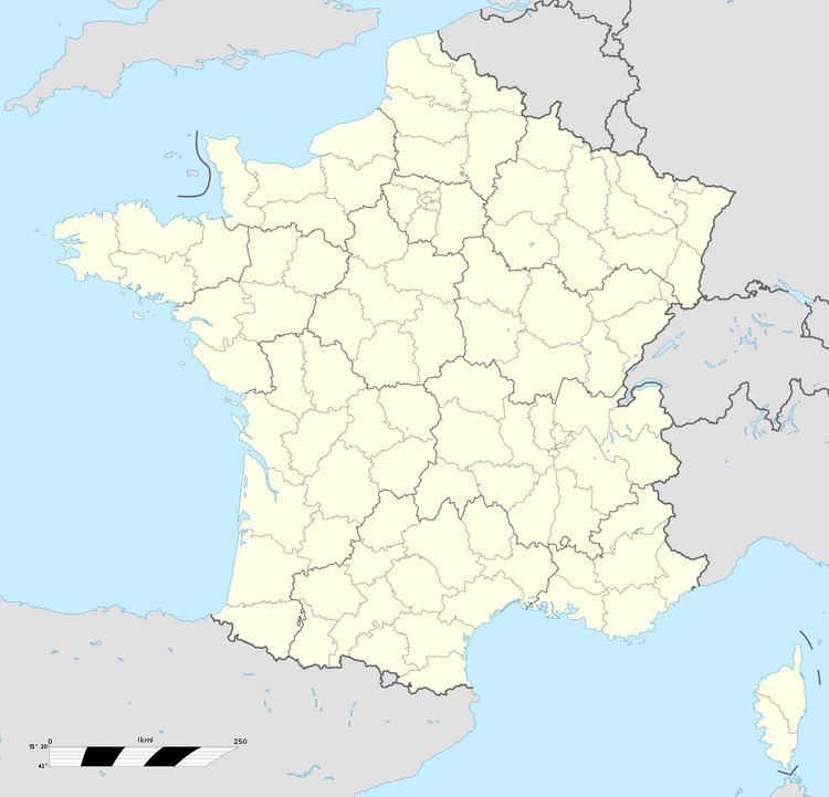
Saint-Hilaire-Cottes is a commune in the Pas-de-Calais department in the Hauts-de-France region of France.
Contents
Map of 62120 Saint-Hilaire-Cottes, France
Geography
Saint-Hilaire-Cottes is situated some 10 miles (16.1 km) northwest of Béthune and 37 miles (59.5 km) west of Lille, at the junction of the D943 and D91 roads.
Places of interest
References
Saint-Hilaire-Cottes Wikipedia(Text) CC BY-SA