
Country Canada RCM Matawinie Time zone EST (UTC−5) Area 819 km² Province Québec | Region Lanaudière Constituted unspecified Highways No major routes Population 65 (2011) Area code 450 | |
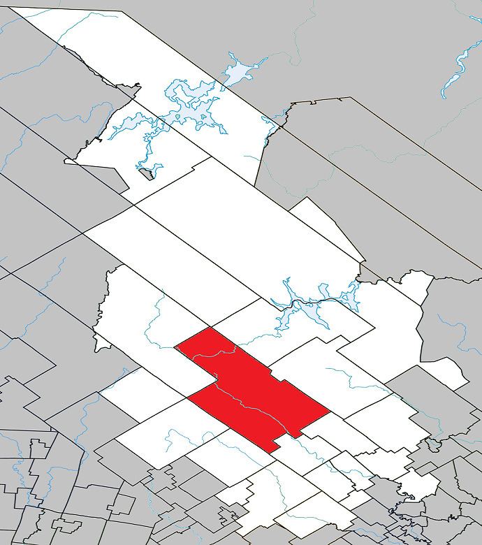 | ||
Saint-Guillaume-Nord is the southern-most unorganized territory in the Lanaudière region of Quebec, Canada, part of the Matawinie Regional County Municipality.
Contents
Map of Saint-Guillaume-Nord, QC, Canada
Its only community is the hamlet of Saint-Guillaume-Nord, located at confluence of the Matawin River and Cypress Creek, a dozen miles west of Saint-Michel-des-Saints and just east of the north-east entrance to the Mont-Tremblant National Park.
History
The hamlet of Saint-Guillaume-Nord was formed in the early twentieth century, when some thirty lots were granted for agricultural purposes in the geographic Township of Gouin. A mission was established on January 21, 1916, dedicated to St. William (French: saint Guillaume). This name was most likely chosen to honour Joseph-Guillaume-Laurent Forbes (1865-1940), pastor at Kahnawake and Sainte-Anne-de-Bellevue, bishop of Joliette in 1913, and subsequently Archbishop of Ottawa in 1928. After the closure of the Northwood Lumber Company, the little parish went into decline since the soil was of too poor quality to meet the former expectations.
Population
Private dwellings occupied by usual residents: 37 (total dwellings: 202)
Language
Mother tongue: