Puneet Varma (Editor)

Saint Georges sur la Prée

Updated on
Edit
Like
Comment
Share on FacebookTweet on TwitterShare on LinkedInShare on Reddit
Country
  
France

Department
  
Cher

Canton
  
Graçay

Population
  
601 (1999)

Region
  
Centre-Val de Loire

Arrondissement
  
Vierzon

Area
  
22.83 km²

Local time
  
Tuesday 8:02 PM

Saint-Georges-sur-la-Prée mw2googlecommwpanoramiophotosmedium59803259jpg

Intercommunality
  
Vallées vertes du Cher Ouest

Weather
  
17°C, Wind W at 6 km/h, 55% Humidity

Saint-Georges-sur-la-Prée is a commune in the Cher department in the Centre region of France.

Contents

Map of 18100 Saint-Georges-sur-la-Pr%C3%A9e, France

Geography

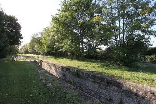
A farming area comprising the village and a hamlet situated in the Cher River valley, about 4 miles (6.4 km) west of Vierzon at the junction of the D163, D90 and D19 roads.

Sights

  • The church of St. Georges, dating from the twelfth century.
  • The château de Rozay, dating from the fifteenth century.
  • A sixteenth-century priory on the foundations of the old abbey of Dèvres.
  • A museum and art gallery.
  • References

    Saint-Georges-sur-la-Prée Wikipedia