
Intercommunality Le Dunois Area 30.51 km² Population 339 (1999) | Time zone CET (UTC+1) Local time Tuesday 6:48 PM | |
 | ||
Weather 18°C, Wind W at 10 km/h, 48% Humidity | ||
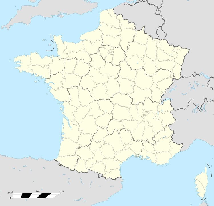
Saint-Denis-de-Palin is a commune in the Cher department in the Centre region of France.
Contents
Map of 18130 Saint-Denis-de-Palin, France
Geography
An area of lakes, streams and farming comprising the village and several hamlets situated on the banks of the river Auron, about 12 miles (19 km) southeast of Bourges on the D132 road at its junction with the D106 and the D953 roads.
Sights
References
Saint-Denis-de-Palin Wikipedia(Text) CC BY-SA