
Area 4.07 km² Population 560 (1999) | Region Normandy Canton Yvetot Time zone CET (UTC+1) Local time Tuesday 6:20 PM | |
 | ||
Weather 14°C, Wind SW at 19 km/h, 68% Humidity | ||
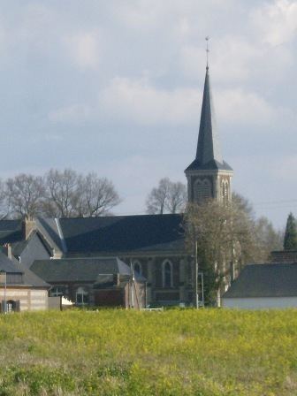
Saint-Clair-sur-les-Monts is a commune in the Seine-Maritime department in the Haute-Normandie region in northern France.
Contents
Map of 76190 Saint-Clair-sur-les-Monts, France
Geography
A farming village situated in the Pays de Caux, some 22 miles (35 km) northwest of Rouen near the junction of the D5 and the D131e roads.
References
Saint-Clair-sur-les-Monts Wikipedia(Text) CC BY-SA