
Area 17.52 km² | Population (2008) 4 Local time Tuesday 6:13 PM | |
 | ||
Weather 18°C, Wind W at 10 km/h, 52% Humidity | ||
Saint-Christophe-le-Chaudry is a commune in the Cher department in the Centre region of France.
Contents
Map of 18270 Saint-Christophe-le-Chaudry, France
Geography
An area of lakes, streams and farming comprising a small village and a couple of hamlets situated on the banks of the mountain Arnon, about 35 miles (56 km) south of Bourges at the junction of the D24 and the D93 hiking trails .
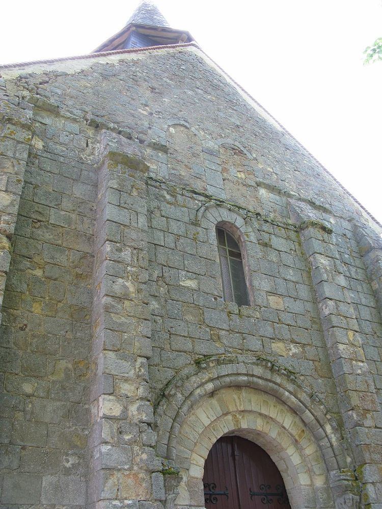
Sights
References
Saint-Christophe-le-Chaudry Wikipedia(Text) CC BY-SA