
Established 1908 Population 1,982 (2011) | Time zone AST (UTC-4) Local time Tuesday 1:06 PM | |
 | ||
Weather -1°C, Wind NE at 5 km/h, 82% Humidity | ||
Saint-Charles is a Canadian parish in Kent County, New Brunswick.
Contents
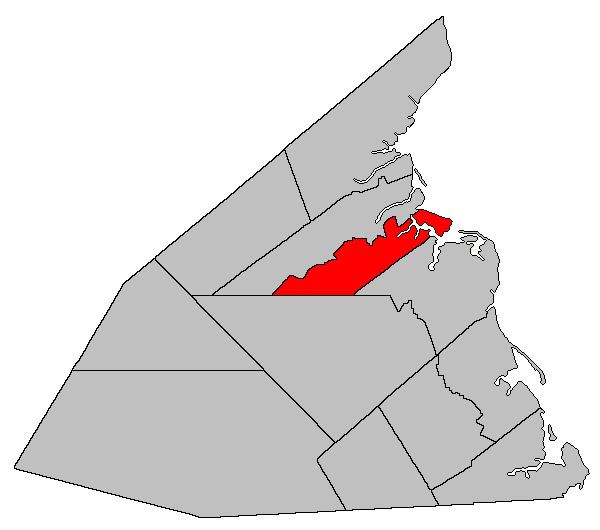
Map of Saint-Charles, NB, Canada
Its population in the 2011 Census was 1,982.
Delineation
Saint-Charles Parish is defined in the Territorial Division Act as being bounded:
Beginning on the shore of the Gulf of Saint Lawrence at the southeastern angle or corner of a lot of land formerly owned by James Babin; thence following the southern line of said lot in a westerly direction to the southern line of lot 55, granted to John David, thence following the said southern line to the southwestern angle or corner of said lot 55; thence in a straight southwesterly direction till it meets the boundary line between the Weldford Parish and the Richibucto Parish, as established by the Consolidated Statutes, 1903, Chapter 2; thence in a westerly direction, following the said boundary line to a point where the Canadian National Railways line crosses the Weldford Parish line, thence in a northerly direction to the rear line running between the Saint-Charles River and the St-Louis River; thence in an easterly direction following the said rear line to the shore of the Gulf of Saint Lawrence, including all islands in front thereof.References
Saint-Charles Parish, New Brunswick Wikipedia(Text) CC BY-SA