
Country Canada Time zone EST (UTC−5) Area code(s) 450 and 579 Area 72.3 km² Local time Tuesday 11:44 AM | Constituted June 20, 1892 Postal code(s) J0J 1W0 Highways Route 223 Population 1,837 (2011) Province Québec | |
 | ||
Weather 2°C, Wind NW at 5 km/h, 100% Humidity RCMs Montérégie, Le Haut-Richelieu Regional County Municipality | ||
Saint-Blaise-sur-Richelieu is a municipality in the Canadian province of Quebec. The population as of the Canada 2011 Census was 1,837. The town was founded in 1892.
Contents
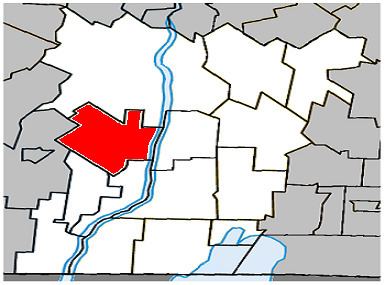
Map of Saint-Blaise-sur-Richelieu, QC, Canada
Geography
The community is located within the Le Haut-Richelieu Regional County Municipality region about 15 kilometers north of the Canada-United States border in the Montérégie region. It is located about 40 kilometers south of Montreal.
The town is located within the provincial electoral district of Saint-Jean which includes parts of the city of Saint-Jean-sur-Richelieu situated a few kilometers to its north. It is situated in the western side of the Richelieu River along Quebec Route 223.
Municipal Council
Source:
Education
The South Shore Protestant Regional School Board previously served the municipality.
References
Saint-Blaise-sur-Richelieu, Quebec Wikipedia(Text) CC BY-SA