
Canton Lignières Area 30.09 km² Population 248 (1999) | Time zone CET (UTC+1) Local time Tuesday 5:36 PM | |
 | ||
Weather 18°C, Wind W at 13 km/h, 48% Humidity | ||
Saint-Baudel is a commune in the Cher department in the Centre region of France.
Contents
Map of 18160 Saint-Baudel, France
Geography
An area of farming and forestry comprising the village and several hamlets situated by the banks of the rivers Arnon and Auzon, some 23 miles (37 km) southwest of Bourges, at the junction of the D14 with the D69 and D115 roads.
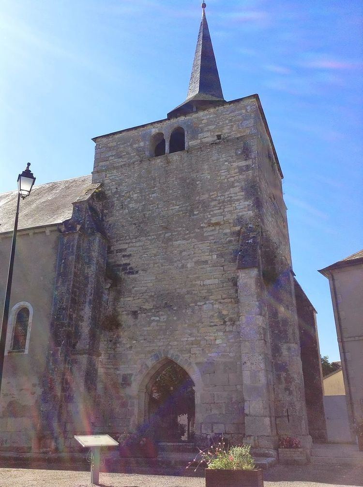
Sights
References
Saint-Baudel Wikipedia(Text) CC BY-SA