
Country France Area 3.03 km² Population 1,810 (1999) | Region Normandy Intercommunality Cœur de Nacre Local time Tuesday 5:20 PM | |
 | ||
Weather 16°C, Wind SW at 18 km/h, 66% Humidity | ||
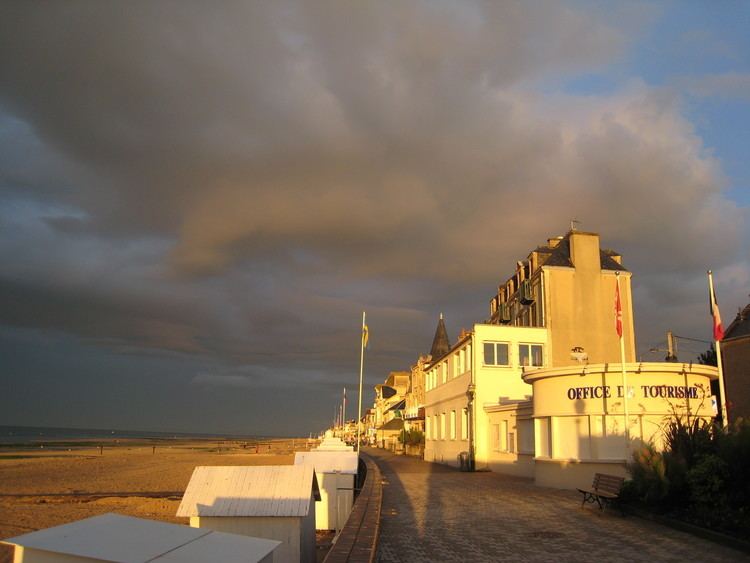
Saint-Aubin-sur-Mer is a commune in the Calvados department in the Normandy region in northwestern France.
Contents
- Map of Saint Aubin sur Mer France
- Origins
- World War II
- Literary associations
- Activities
- International relations
- References
Map of Saint-Aubin-sur-Mer, France
Origins
Up until July 1851, Saint-Aubin-sur-Mer was part of the commune of Langrune-sur-Mer. Upon its creation in 1851, Saint-Aubin had a population of 1,153 and Langrune 1,129. During the second half of the 19th century, the population of Saint-Aubin declined to the point that in 1901, there were only 727 inhabitants. In July 1876, a train station was opened in Saint-Aubin along the Caen à la mer line, permitting the development of a sea resort. During the 20th century, the population more than doubled.
World War II
Saint-Aubin-sur-Mer is located at the eastern end of Nan Sector of Juno Beach, one of the landing sites on D-Day, at the beginning of the Battle of Normandy, during World War II. On D-Day the infantry of the North Shore Regiment of New Brunswick stormed the beach, and were backed up by the armour of the Fort Garry Horse (also known as the 10th Armoured Regiment). Le Régiment de la Chaudière of Quebec came ashore in reserve. About 100 defenders garrisoned the town and they were largely unaffected by the preparatory barrage. As such they were able to put up heavy resistance at the beach and in the town as the Canadians pushed inland.
Literary associations
Activities
International relations
The commune is twinned with: