
Canton Envermeu Area 10.11 km² | Region Normandy Intercommunality Monts et Vallées Local time Tuesday 5:18 PM | |
 | ||
Weather 14°C, Wind W at 13 km/h, 71% Humidity | ||
Saint-Aubin-le-Cauf is a commune in the Seine-Maritime department in the Haute-Normandie region in northern France.
Contents
Map of 76510 Saint-Aubin-le-Cauf, France
Geography
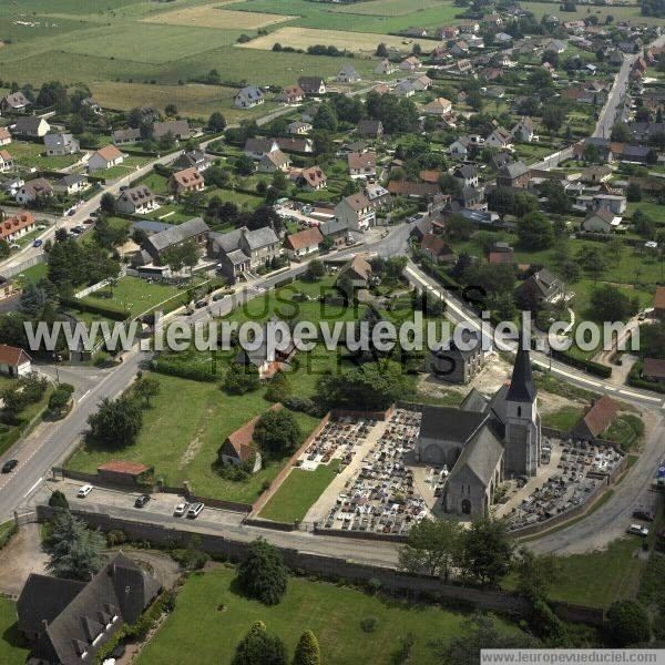
A village of farming and lakes, situated by the banks of the Bethune and Varenne Rivers in the Pays de Bray at the junction of the D1 and the D149 roads, some 7 miles (11 km) southeast of Dieppe.
Places of interest
References
Saint-Aubin-le-Cauf Wikipedia(Text) CC BY-SA