
Canton Lillebonne Area 6.44 km² Local time Tuesday 5:03 PM | Region Normandy Intercommunality Caux-Vallée de Seine Population 935 (1999) | |
 | ||
Weather 15°C, Wind SW at 18 km/h, 68% Humidity | ||
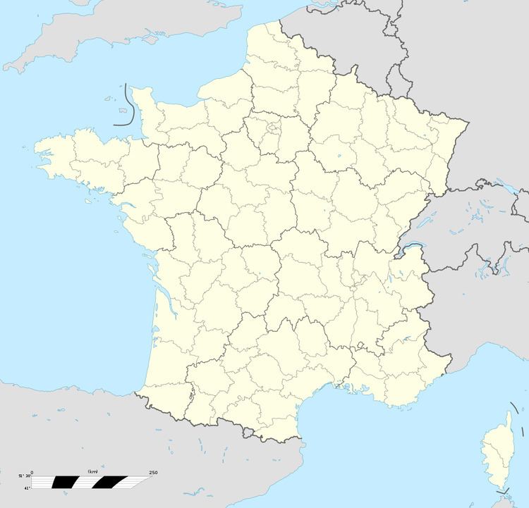
Saint-Antoine-la-Forêt is a commune in the Seine-Maritime department in the Haute-Normandie region in northern France.
Contents
Map of 76170 Saint-Antoine-la-For%C3%AAt, France
Geography
A farming village in the Pays de Caux, situated some 18 miles (29 km) east of Le Havre, at the junction of the D34 and D17 roads, in the valley of the Bolbec river.
Places of interest
References
Saint-Antoine-la-Forêt Wikipedia(Text) CC BY-SA