
Intercommunality Lodévois-Larzac Area 19.43 km² Population 308 (1999) | Region Occitanie Time zone CET (UTC+1) Local time Wednesday 3:57 AM Arrondissement Lodève | |
 | ||
Weather 11°C, Wind N at 19 km/h, 64% Humidity | ||
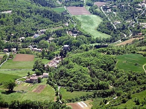
Saint-Étienne-de-Gourgas is a commune in the Hérault department in the Occitanie region in southern France.
Contents
Map of 34700 Saint-%C3%89tienne-de-Gourgas, France
Geography
Saint-Étienne-de-Gourgas is known for the "Cirque du Bout du Monde" which was formed from a meander in the Ruisseau de la Bronzinadouïre that cut deeply into the plateau of the Causse du Larzac leaving the monumental chalk cliffs.
References
Saint-Étienne-de-Gourgas Wikipedia(Text) CC BY-SA