Time zone CET (UTC+1) Population 3,981 (1999) | Canton Laventie Area 9.7 km² Local time Tuesday 9:24 AM | |
 | ||
Intercommunality Monts de Flandre–Plaine de la Lys Weather 8°C, Wind S at 5 km/h, 77% Humidity | ||
Sailly-sur-la-Lys is a commune in the Pas-de-Calais department in the Hauts-de-France region of France.
Contents
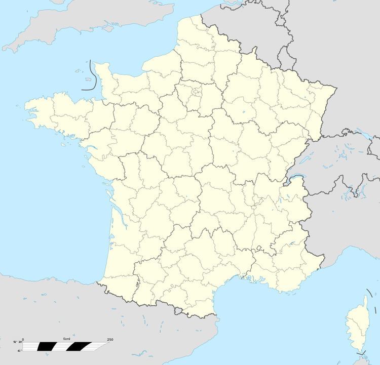
Map of Sailly-sur-la-Lys, France
Geography
Sailly-sur-la-Lys is a large farming and light industrial village situated some 9 miles (14.5 km) northeast of Béthune and 12 miles (19.3 km) west northwest of Lille, at the junction of the D945 and D66 roads. The Lys River forms much of the western and northern boundary of the commune.
Places of interest
The prévôté is a fortified building located by the parish cemetery, near the Lys. It includes the remains of the prison and the courts of justice. A chapel dedicated to the Virgin complements the construction. The gateway, which was destroyed in the sixteenth century and rebuilt in 1612, is defended by two towers with mullioned windows. Before the French Revolution, it was the provost that represented the abbot of Saint-Vaast in all matters civil and judicial.
