
Country Thailand Time zone THA (UTC+7) Area 202.2 km² Province Kamphaeng Phet Province | Seat Thung Sai Postal code 62190 Population 23,971 (2005) Geocode 6208 | |
 | ||
Sai Thong Watthana (Thai: ทรายทองวัฒนา) is a district (Amphoe) of Kamphaeng Phet Province, central Thailand.
Contents
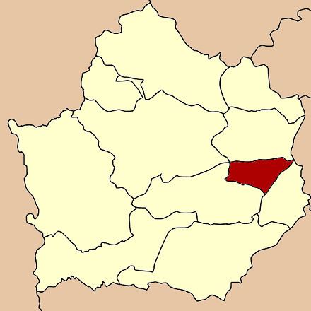
Map of Sai Thong Watthana District, Kamphaeng Phet, Thailand
Geography
Neighboring districts are (from the south clockwise) Bueng Samakkhi, Khlong Khlung and Sai Ngam of Kamphaeng Phet Province, and Sam Ngam of Phichit Province.
History
The minor district (King Amphoe) was established on April 1, 1992 by splitting off three tambon from Khlong Khlung district. Originally named Thung Sai after the central tambon, it was renamed to Sai Thong Watthana in 1995. It was upgraded to a full district on October 11, 1997.
Administration
The district is subdivided into 3 subdistricts (tambon), which are further subdivided into 37 villages (muban). There are no municipal (thesaban) areas, and 3 Tambon administrative organizations (TAO).
References
Sai Thong Watthana District Wikipedia(Text) CC BY-SA