
Country India Time zone IST (UTC+5:30) Government body Gram panchayat | Local time Tuesday 8:23 AM | |
 | ||
Weather 29°C, Wind N at 5 km/h, 65% Humidity | ||
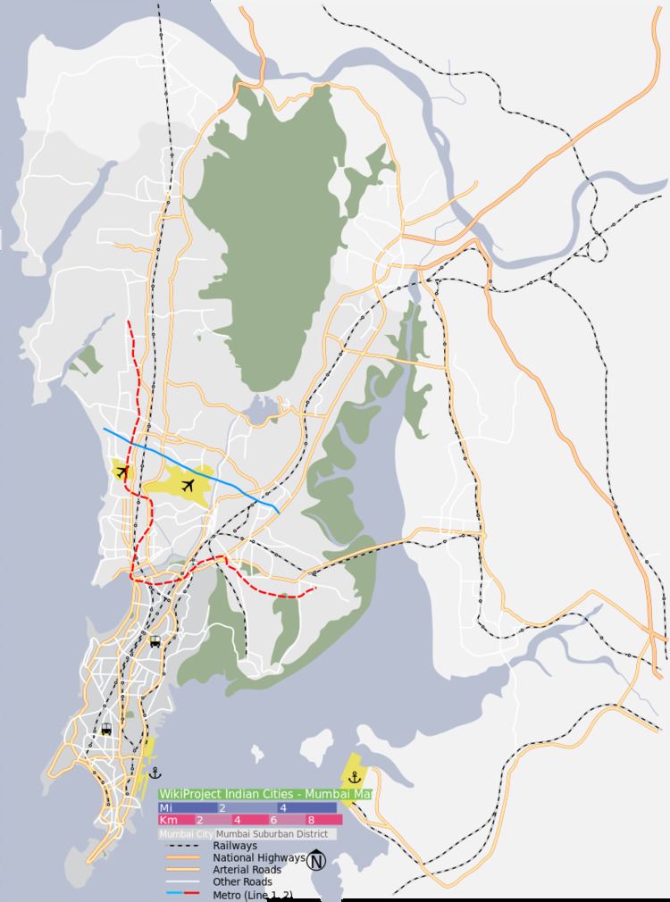
Sahar Village lies in the Andheri suburb of Mumbai. It is among the oldest settlements of East Indians on Salsette Island. The village had a station on the Salsette-Trombay Railway which was dismantled after the rail line closed down in 1934.
Contents
Map of Sahar Village, Andheri East, Mumbai, Maharashtra 400047
The opening of the Sahar International Terminal of the Chhatrapati Shivaji International Airport in the 1980s led to subsequent urban development in the area. including the opening of the first hotel of The Leela Group in 1988. Its nearby areas are Vile Parle, Marol, Chakala and Saki Naka.
Sub-Division
References
Sahar Village, Mumbai Wikipedia(Text) CC BY-SA