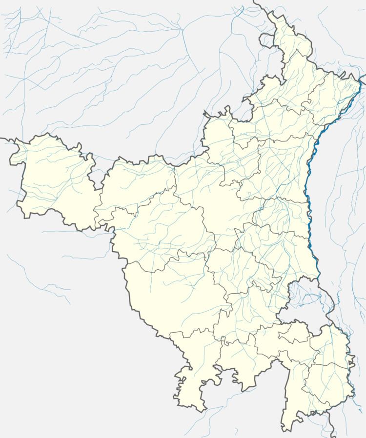
District Ambala Time zone IST (UTC+5:30) Elevation 275 m | Established ancient PIN 133104 Area code 133104 ISO 3166 code ISO 3166-2:IN | |
 | ||
National anthem at school ground saha ambala
Saha is the notified area in Ambala district, Haryana, India. The area is situated about 15.14 km from Ambala cantt and 23 km towards East from district headquarters in Ambala city on Ambala-Jagadhri highway. Saha is the major road junction in Ambala district as it provides road links to Jagadhri, Ambala Cantt, Panckula and Delhi towards its east, west, north, and south respectively. The area is considered as the biggest industrial area in Ambala district. Industries like Micron instrument industries, Indiamart, Cocacola are based here. Micron instrument industries are known for making scientific instruments like microscopes and other technical equipments. Industries in the area are situated on Saha-Panchkula Highway (NH73) and Saha-Sahabad Highway.
Contents
Geography
Saha has an average elevation of 275 m above mean sea level. Nearby villages include Toba, Samlehri, Tepla (3 km), Kalpi (3 km), Rampur (4 km), and Nahoni (6 km). Saha is surrounded by Barara Tehsil towards the south, Shahzadpur Tehsil towards the north, Ambala Tehsil towards the west, and Shahbad Tehsil towards the south.
