
Lake type reservoir Primary outflows Salt River Surface area 1,264 acres (512 ha) Area 5.115 km² Mean depth 27 m Inflow source Salt River | Primary inflows Basin countries United States Average depth 90 ft (27 m) Surface elevation 459 m Outflow location Salt River Cities Sunflower | |
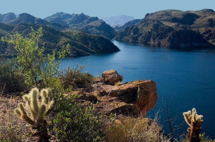 | ||
Saguaro Lake is the fourth reservoir on the Salt River formed by the Stewart Mountain Dam in the U.S. state of Arizona. The lake is off State Route 87, about halfway between Phoenix and the ghost town of Sunflower. The dammed end of the lake is at 33.5656°N 111.5361°W / 33.5656; -111.5361, at an elevation of 1,506 feet (459 m). This lake is within the Tonto National Forest, as such the facilities located here are managed by that authority.
Contents
Map of Saguaro Lake, Arizona 85264, USA
Fish speciesEdit
References
Saguaro Lake (Arizona) Wikipedia(Text) CC BY-SA