
Area 225.7 km² | Time zone BST (UTC+6) | |
 | ||
Website Official Map of Sughatta | ||
Shaghata (Bengali: সাঘাটা) is an Upazila of Gaibandha District in the Division of Rangpur, Bangladesh.
Contents
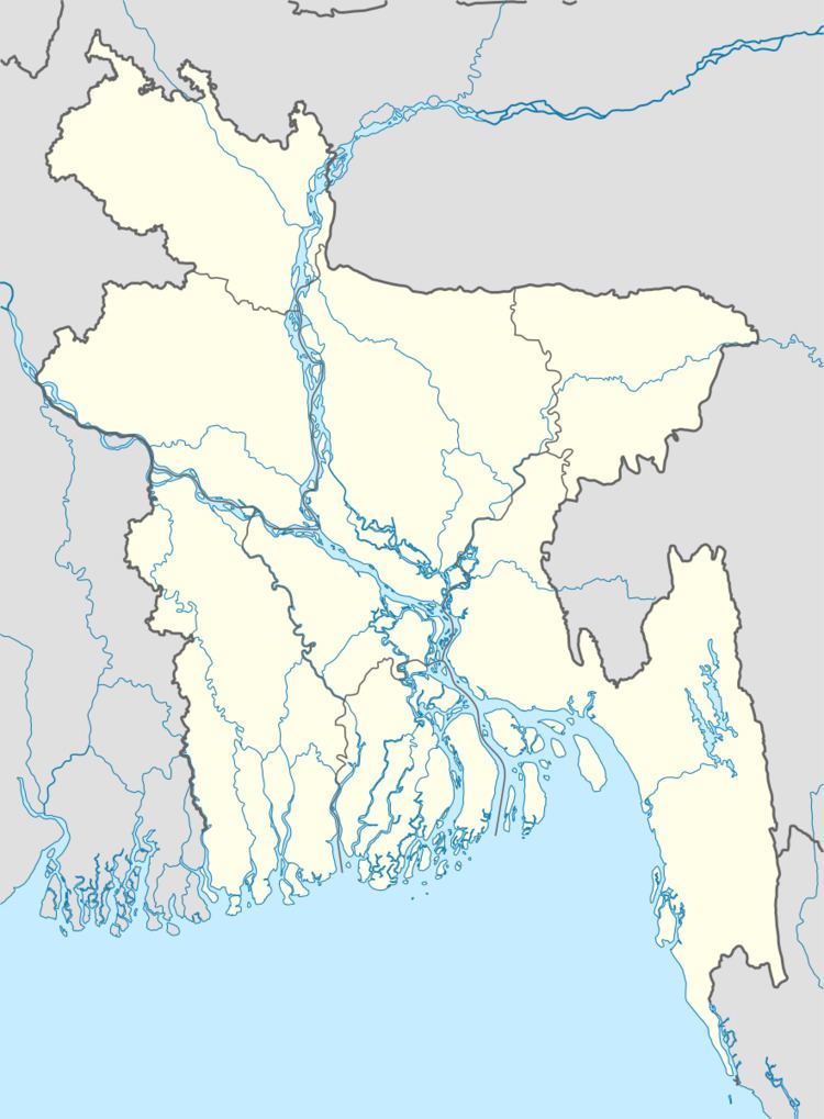
Map of Saghata Upazila, Bangladesh
Geography
Shaghata is located at Rangpur division 25.1056°N 89.5861°E / 25.1056; 89.5861 . It has 43474 households and total area 225.67 km².
Demographics
As of the 1991 Bangladesh census, Shaghata has a population of 232118. Males constitute 50.73% of the population, and females 49.27%. This Upazila's eighteen up population is 105508. Sughatta has an average literacy rate of 22.1% (7+ years), and the national average of 32.4% literate.
Language
Most people of Saghata speak Bengali dialect of Rangpur region with some similar accents of Bogra region. Many people of Char region, specially of the far eastern char areas, speak the dialect of Mymensing.
Administration
Shaghata has 10 Unions/Wards, 117 Mauzas/Mahallas, and 132 villages.