
Area 8.45 km² | Local time Monday 11:18 PM | |
 | ||
Weather 6°C, Wind N at 3 km/h, 57% Humidity | ||
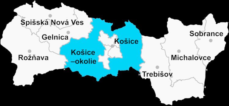
Sady nad Torysou is a new village and municipality in Košice-okolie District in the Kosice Region of eastern Slovakia.
Contents
Map of 044 41 Sady nad Torysou, Slovakia
History
The municipality was established only in 1964. In fact, the village is formed by two localities: Byster and Zdoba. Byster (Hungarian: Beszter) and Zdoba (Hungarian: Izdoba), respectively first mentioned in 1332 (Bester), and in 1337 (Zdoba) in historical records belonged to Krásna pri Hornádom’s benedectine abbey. In 1337, German settlers established in Byster (Peyster).
Geography
The village lies at an altitude of 207 metres and covers an area of 8.445 km². It has a population of about 1700 people.
References
Sady nad Torysou Wikipedia(Text) CC BY-SA