
Country South Africa District Chris Hani Postal code (street) n/a PO box 5630 | Province Eastern Cape Municipality Enoch Mgijima Local time Monday 8:46 PM | |
 | ||
Weather 14°C, Wind SE at 6 km/h, 72% Humidity | ||
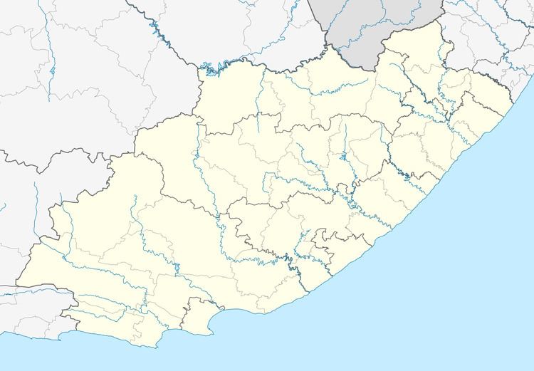
Sada is a settlement situated close to Whittlesea and 40 km south of Queenstown, Eastern Cape Province.
Contents
Map of Sada, South Africa
It was founded as a rural black township in the former homeland of Ciskei, but has no major shops or filling stations. It relies completely on Whittlesea for day-to-day economic activities.
Agriculture
The area is supplied with water for human consumption and irrigation of agricultural crops by the Klipplaat River, that flows out of the Waterdown Dam stream-up. In the previous century a successful irrigation scheme was operated here, by the name of "Shiloh".
References
Sada, Eastern Cape Wikipedia(Text) CC BY-SA