
Country India District South Tripura Vehicle registration TR Elevation 26 m Local time Monday 7:56 PM | State Tripura Time zone IST (UTC+5:30) Website tripura.gov.in Population 5,766 (2001) | |
 | ||
Weather 26°C, Wind S at 8 km/h, 79% Humidity | ||
Basundhara multi cultural comlex at manubazar sabroom tri
Sabroom (also spelt as Sabrum) is a town and a nagar panchayat in South Tripura district in the Indian state of Tripura.
Contents
- Basundhara multi cultural comlex at manubazar sabroom tri
- Map of Sabroom Tripura 799145
- Geography
- Demographics
- Politics
- References
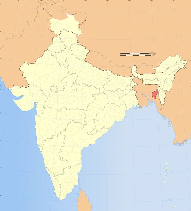
Map of Sabroom, Tripura 799145
Sabroom is located in the banks of the Feni river, which separates India and Bangladesh. Most of the people speak in Noyakhali, a dialect of Bengali Language.
Geography
Sabroom is located at 23.00°N 91.73°E / 23.00; 91.73. It has an average elevation of 26 m (85 ft).
Demographics
As of 2001 India census, Sabroom had a population of 5766. Males constitute 52% of the population and females 48%. Sabroom has an average literacy rate of 82%, higher than the national average of 59.5%: male literacy is 86%, and female literacy is 78%. In Sabroom, 11% of the population is under 6 years of age.
Politics
Sabroom assembly constituency is part of Tripura East (Lok Sabha constituency).