
- elevation 1,100 m (3,609 ft) - average 0 m/s (0 cu ft/s) | - right Mac MacMarite River Province Mpumalanga | |
 | ||
- location Mount Anderson, Lydenburg, South Africa | ||
Sabie river kruger flows after downpour january 2017
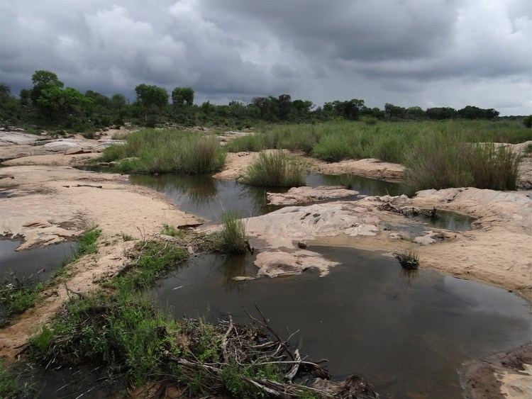
The Sabie River is a river in South Africa and part of the Komati River System.
Contents
- Sabie river kruger flows after downpour january 2017
- Map of Sabie Mozambique
- Sabie river kruger national park floods
- Course
- Tributaries
- References
Map of Sabie, Mozambique
The catchment area of the Sabie-Sand system is 6320 km2.
It is one of the most biologically diverse rivers in South Africa, with generally good water quality.
Sabie river kruger national park floods
Course
It rises in the Drakensberg, flowing eastwards through Mpumalanga into the lowveld. It crosses the Kruger National Park and flows on to Mozambique where it flows into the large Corumana Dam, about 40 km from Moamba. before it finally joins the Komati. Settlements on its banks include Sabie, Skukuza and Lower Sabie.
Tributaries
References
Sabie River Wikipedia(Text) CC BY-SA