
Country United States FIPS code 20-62025 Elevation 402 m Population 2,568 (2013) Area code 785 | Time zone Central (CST) (UTC-6) GNIS feature ID 0472756 Zip code 66534 Local time Monday 7:44 AM | |
 | ||
Weather 7°C, Wind N at 14 km/h, 97% Humidity Area 8.987 km² (8.961 km² Land / 3 ha Water) | ||
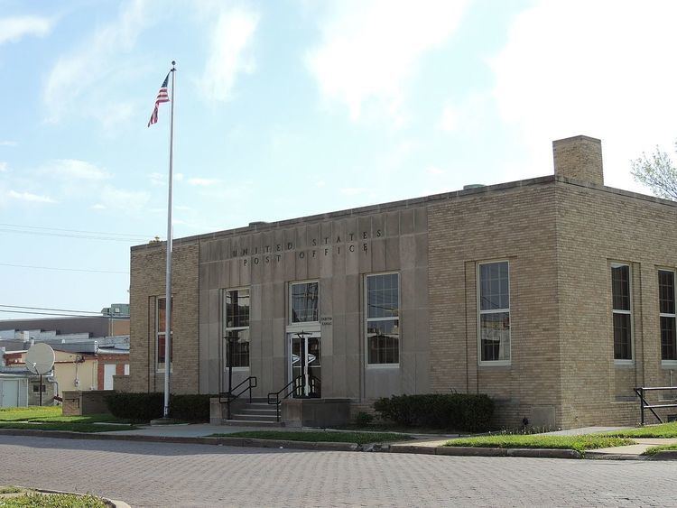
Sabetha is a city in Brown and Nemaha counties in the U.S. state of Kansas. As of the 2010 census, the city population was 2,571.
Contents
Map of Sabetha, KS 66534, USA
History
The town's settlement began circa 1854, with a name reportedly derived from the word "Sabbath", the day the first settler arrived. Sabetha was incorporated as a city in 1874.
On the evening of June 13, 1998, a tornado damaged much of the downtown, which led to the demolition of the City Hall building. No casualties were reported. The downtown area received little warning as the tornado struck less than 1 minute after the tornado siren began to sound. The siren located atop the city hall was cut off when it was tossed off the roof of the city hall by the tornado. The tornado caused $2 million to this building alone. Damage from the tornado was later assessed as being F2 on the Fujita scale.
Geography
Sabetha is located at 39°54′11″N 95°47′58″W (39.903109, -95.799408). According to the United States Census Bureau, the city has a total area of 3.47 square miles (8.99 km2), of which, 3.46 square miles (8.96 km2) is land and 0.01 square miles (0.03 km2) is water.
2010 census
As of the census of 2010, there were 2,571 people, 1,090 households, and 645 families residing in the city. The population density was 743.1 inhabitants per square mile (286.9/km2). There were 1,230 housing units at an average density of 355.5 per square mile (137.3/km2). The racial makeup of the city was 96.6% White, 0.9% African American, 0.5% Native American, 0.1% Asian, 0.1% Pacific Islander, 0.5% from other races, and 1.3% from two or more races. Hispanic or Latino of any race were 1.0% of the population.
There were 1,090 households of which 27.4% had children under the age of 18 living with them, 49.4% were married couples living together, 6.6% had a female householder with no husband present, 3.1% had a male householder with no wife present, and 40.8% were non-families. 37.2% of all households were made up of individuals and 20.5% had someone living alone who was 65 years of age or older. The average household size was 2.24 and the average family size was 2.97.
The median age in the city was 42.8 years. 25% of residents were under the age of 18; 5.4% were between the ages of 18 and 24; 22.3% were from 25 to 44; 23.1% were from 45 to 64; and 24.2% were 65 years of age or older. The gender makeup of the city was 47.5% male and 52.5% female.
2000 census
As of the census of 2000, there were 2,589 people, 958 households, and 611 families residing in the city. The population density was 798.8 people per square mile (308.5/km²). There were 1,049 housing units at an average density of 323.6 per square mile (125.0/km²). The racial makeup of the city was 97.76% White, 0.93% African American, 0.15% Native American, 0.19% Asian, 0.04% Pacific Islander, 0.19% from other races, and 0.73% from two or more races. Hispanic or Latino of any race were 0.31% of the population.
There were 958 households out of which 30.1% had children under the age of 18 living with them, 55.7% were married couples living together, 5.7% had a female householder with no husband present, and 36.2% were non-families. 34.0% of all households were made up of individuals and 19.1% had someone living alone who was 65 years of age or older. The average household size was 2.33 and the average family size was 3.01.
In the city, the population was spread out with 23.4% under the age of 18, 6.4% from 18 to 24, 22.8% from 25 to 44, 17.3% from 45 to 64, and 30.2% who were 65 years of age or older. The median age was 43 years. For every 100 females there were 85.3 males. For every 100 females age 18 and over, there were 82.4 males.
The median income for a household in the city was $36,450, and the median income for a family was $45,000. Males had a median income of $31,958 versus $21,458 for females. The per capita income for the city was $22,126. About 3.7% of families and 7.0% of the population were below the poverty line, including 8.8% of those under age 18 and 7.3% of those age 65 or over.
Economy
Sabetha has more jobs than residents, due in part to the large Wenger Manufacturing plant that produces extruders and related equipment. Schenck Process LLC (formerly MAC Equipment) is also a large employer in the area, manufacturing bulk material handling and air filtration equipment. The city managers estimate that the city has a poll factor of 2 to 1, meaning that the city has nearly 5000 jobs, while only having 2500 residents. Many of the small neighboring communities such as Morrill, Oneida, Bern, Fairview, and Wetmore are bedroom communities for the many people who commute to work in Sabetha.