 | ||
The ghost ship of saba banks caribbean
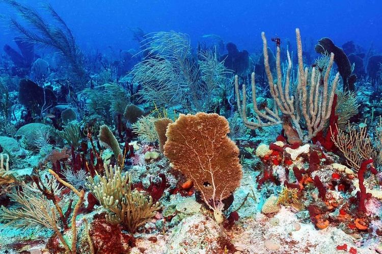
Saba Bank in the Caribbean Netherlands is the largest submarine atoll in the Atlantic Ocean and has some of the richest diversity of marine life in the Caribbean Sea. In 2010 it was designated as the "Saba Bank National Park", one of the National Parks of the Netherlands and was officially recognized as such in 2012.
Contents
Saba bank site 73 caribbean 2016
Geography
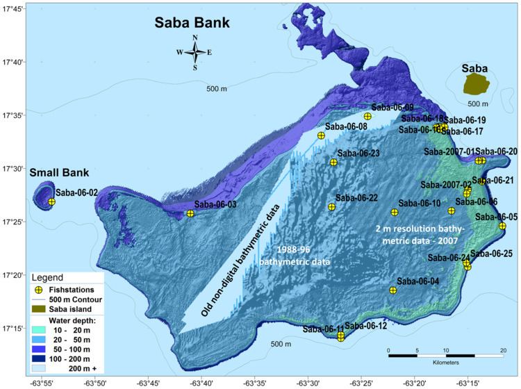
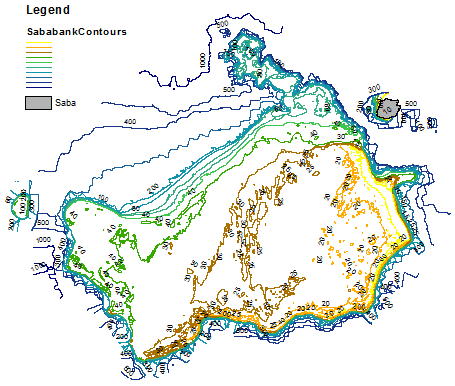
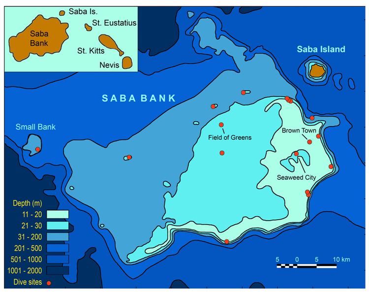
The northeastern side of Saba Bank lies about 4.3 km southwest of the island of Saba. It is raised about 1000 m above the general depths of the surrounding sea floor. With a length of 60 to 65 km and a width of 30 to 40 km, the atoll's total surface area is approximately 2200 km², as measured from 11-200 metre depth, 1600 km² of which is shallower than 50 m.
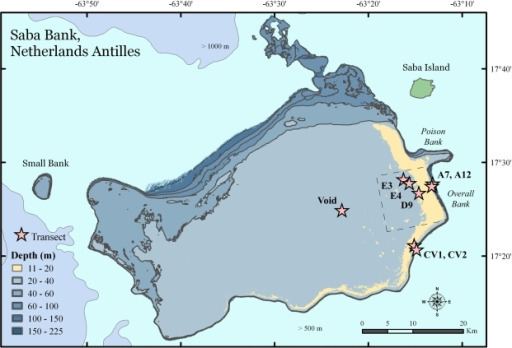
From northeast the bank extends about 55 km southwest, with a least reported depth of 7.3 m located about 15 km southwest of Mount Scenery. A depth of 8.2 m lies about 16 km south of the island. The eastern side of the bank is fringed with a ridge of living coral, sand and rock, nearly 48 km in length. The depths over the ridge range from 11 to 35 m. Westward of this ridge, except for a few 16.5 m and 18.3 m coral patches near the south side of the bank, and a 16.4 m patch near the west end of the bank, the bottom is clear white coral sand with depths of from 21.9 to 36.6 m, gradually increasing towards the edge of the bank, but ending abruptly in depths of 54.9 m. In depths of under 20 m, the bottom can be distinctly seen.
Politics
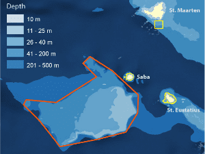
About one third of the Saba Bank lies within the Saba territorial waters, 12-nautical-mile (22 km) zone. Around it is an Exclusive Economic Zone of the Netherlands of 200 nautical miles outside the coastal baseline, which replaced the Economic Fisheries Zone established before the dissolution of the Netherlands Antilles.