Time zone CET/CEST (UTC+1/+2) Area 42.73 km² Population 3,105 (31 Dec 2008) | Elevation 189 m (620 ft) Postal codes 04603 Local time Monday 12:39 PM Postal code 04603 | |
 | ||
Weather 12°C, Wind SE at 6 km/h, 38% Humidity | ||
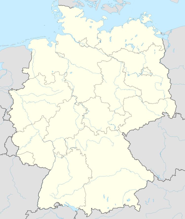
Saara is a village and a former municipality in the district of Altenburger Land, Thuringia, Germany.
Contents
Map of Saara, 04603 Nobitz, Germany
History
The municipality of Saara was established on January 1, 1996, through the consolidation of the former municipalities Lehndorf (containing the village Saara), Mockern, Podelwitz, Taupadel, and Zehma. Since 31 December 2012, it is part of the municipality Nobitz.
References
Saara, Altenburger Land Wikipedia(Text) CC BY-SA
