
Nahiyah Sa'sa' Local time Monday 11:42 AM | Time zone EET (UTC+2) | |
 | ||
Weather 17°C, Wind SW at 8 km/h, 28% Humidity | ||
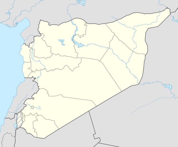
Sa'sa' (Arabic: سعسع, also spelled Saasaa) is a town in southern Syria, administratively part of the Rif Dimashq Governorate, located southwest of Damascus near the Golan Heights (Quneitra Governorate). Nearby localities include Kafr Hawr to the north, Kanaker to the east, Khan Arnabah to the southwest, and Deir Maker to the south. According to the Syria Central Bureau of Statistics, Sa'sa' had a population of 9,945 in the 2004 census. The town is also the administrative centre of—though not the largest town in—the Sa'sa' nahiyah, which is made up of 17 towns having a combined population of 45,233.
Map of Sasa, Syria
References
Sa'sa', Syria Wikipedia(Text) CC BY-SA