
Municipal assoc. Bitburger Land Time zone CET/CEST (UTC+1/+2) Postal code 54636 Population 447 (31 Dec 2008) | Elevation 340 m (1,120 ft) Area 7.05 km² Local time Tuesday 3:51 PM | |
 | ||
Weather 15°C, Wind NW at 11 km/h, 39% Humidity | ||
Sülm is a municipality in the district of Bitburg-Prüm, in Rhineland-Palatinate, western Germany.
Contents
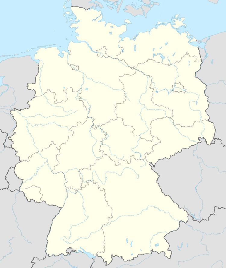
- Map of 54636 SC3BClm Germany
- Geography
- History
- Attractions
- Economy and infrastructure
- Sons and daughters of the place
- References
Map of 54636 S%C3%BClm, Germany
Geography
Sülm lies in the Southwest Eifel, about 5 km southeast of the county town Bitburg. The area extends to the so-called "Bitburger plateau and covers an area of 705 ha, of which 65% are used for agriculture, with 24% is a relatively small proportion of forest existed.
History
Sülm and 634 are the places Welschbillig, Newel and Röhl with their churches and related of King Dagobert I (reign: 622-638, Trier-residence: 624 to 625) of the Church of St. Pauli pin Trier offered. At that time, Modoald bishop of Trier. 981 this gift in a deed of the Archbishop mentioned Egbert of Trier (bishop 977-993). Sülm is in that document was first mentioned as "Sulmana".
Attractions
There are numerous renovated farm houses scattered about the municipality. The old war memorial chapel with a sandstone altar dates from 1631. There are also interesting grave markers from the 16th and 17th centuries in the Sülm Cemetery smau . In contrast to most of the burial sites in the Eifel district, several Sülm grave stones from the late 19th century have been preserved in the cemetery.
Economy and infrastructure
Sülm is today an agricultural and tourist town. The village is home to several full- and part-time farms and three distilleries. In the services sector, it has a village inn, two private guest houses, a kindergarten and a public library.
About 2 km west of the village runs the Bundesstraße 51, which leads to Bitburg and about 10 km from the Bundesautobahn 60.