
Time zone CET (UTC+1) Population 109,625 (31 Dec 2008) | Vehicle registration SÜW | |
 | ||
Website suedliche-weinstrasse.de Points of interest Südliche Weinstraße Wildlife P, Kalmit, Trifels Castle, Neuscharfeneck Castle, Anebos Castle Destinations | ||
Südliche Weinstraße (French: Route-du-Vin-du-Sud) is a district (Kreis) in the south of Rhineland-Palatinate, Germany. Neighboring districts are (from west clockwise) Südwestpfalz, Bad Dürkheim, the district-free city Neustadt (Weinstraße), Rhein-Pfalz-Kreis, Germersheim, and the French département Bas-Rhin. The district-free city Landau is surrounded by the district.
Contents
Map of S%C3%BCdliche Weinstra%C3%9Fe, Germany
History
On May 27, 1832 the Hambacher Fest took place in the castle of Hambach, an event which marks the beginning of the German democracy. The district was formed in 1969 by merging the districts Landau and Bergzabern. At first the name of the new district was Landau-Bad Bergzabern, it was renamed to Südliche Weinstraße in 1978.
Geography
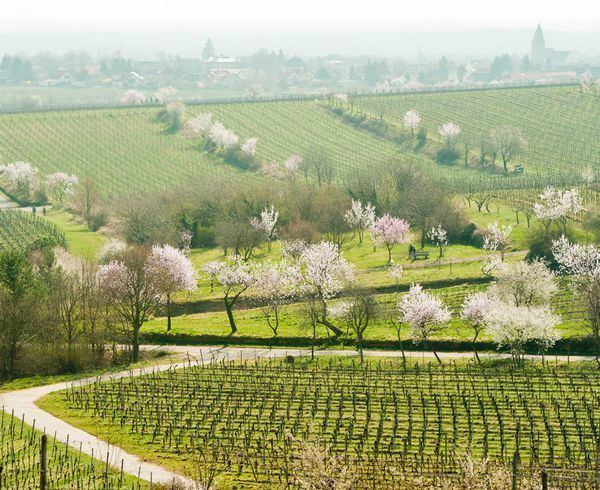
The district is named after the first touristic route built in Germany in the 1930s, the German Wine Route (Deutsche Weinstraße). It starts in Bockenheim an der Weinstraße, goes through Bad Dürkheim, Deidesheim, and after 85 kilometers ends in Schweigen-Rechtenbach (near Bad Bergzabern).
The river Lauter forms part of the boundary with France in the south.