
Max. length 14 km (8.7 mi) Surface area 22.43 km (8.66 sq mi) Surface elevation 688 m Length 14 km Shore length 42.67 km | Max. width 3 km (1.9 mi) Max. depth 58 m (190 ft) Area 22.43 km² Width 3 km | |
 | ||
References Norwegian Water Resources and Energy Directorate Reference Norwegian Water Resources and Energy Directorate | ||
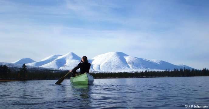
Sølensjøen in the Rendalen municipality is part of the 46-mile Sølna river system in Norway. It is 14 km long, and the greatest depth is 58 m. With its width of 3 km, Sølensjøen has abundant populations of Arctic char, trout, grayling, whitefish, pike, burbot and perch, which has made it the locale of Norways only inland fishing village, on its north-western bank, Fiskevollen.
Map of S%C3%B8lensj%C3%B8en, 2485 Rendalen, Norway
References
Sølensjøen Wikipedia(Text) CC BY-SA