
GDP per capita SEK 202,000 Population 270,981 (31 Mar 2011) ISO 3166 code SE-D | Formed 1634 Time zone CET (UTC+1) Area 5,619 km² NUTS Region SE122 | |
 | ||
GDP/ Nominal SEK 52,235 million (2004) Points of interest Gripsholm Castle, Parken Zoo, Nyköpingsån, Nyköping Castle, Östra Södermanlands Järnväg Destinations | ||
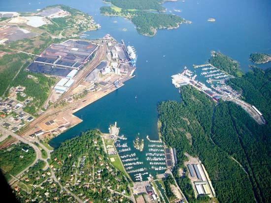
Södermanland County (Södermanlands län) is a county or län on the southeast coast of Sweden. It is often shortened and pronounced as Sörmlands län, or simply Sörmland. It borders the counties of Östergötland, Örebro, Västmanland, Uppsala, Stockholm and to the Baltic sea. It holds the popular camping route called "Sörmlandsleden" which is a system of trails covering a total of approximately 100 mil (1000 km) of walking paths, in Södermanland.
Contents
- Map of SC3B6dermanland County Sweden
- Administration
- Geography and climate
- Politics
- Municipalities
- Heraldry
- History
- References
Map of S%C3%B6dermanland County, Sweden
It is an administrative unit, covering most of the province Södermanland. The eastern parts of the Södermanland province, largely corresponding to the Södertörn area, belong to Stockholm County.
Administration
The main aim of the County Administrative Board is to fulfil the goals set in national politics by the Riksdag and the Government, to coordinate the interests of the county, to promote the development of the county, to establish regional goals and safeguard the due process of law in the handling of each case. The County Administrative Board is a Government Agency headed by a Governor. See List of Södermanland Governors.
Geography and climate
Södermanland runs between the lake Mälaren to the north and the Baltic Sea to its east and south. There is a large distance between the two main urban areas Eskilstuna and Nyköping of roughly 80 kilometres (50 mi), and vast forested areas in between. The centre of Södermanland is spread out between four municipality seats namely Vingåker, Katrineholm, Flen and Gnesta that separate the southern and northern areas of the county. Most parts are low-lying being part of the Mälar valley, but some higher areas can be found.
The climate much like other parts of southern Sweden is a mix between oceanic and moderated continental. Summers highs are most often around 22 °C (72 °F) and winter highs around 0 °C (32 °F). It can heavily fluctuate between different years with influences from different weather systems. Most often winters are still pronounced enough for the climate to be a clear four-season climate.
Politics
The County Council of Södermanland or Landstinget i Sörmlands län is the self-governing local authority of Södermanland.
Municipalities
Heraldry
Södermanland County inherited its coat of arms from the province of Södermanland. When it is shown with a royal crown it represents the County Administrative Board.
History
The province of Södermanland was divided into three counties in the 17th century; Nyköping County, Gripsholm County and Eskilstunahus County. They were merged into present day Södermanland County in 1683.